 H. has a day off, and C. and I tackle the section west of Angle. We take the same bus to Pembroke and minibus to Angle. The same south-east wind blows, but it’s a fine sunny day, as we walk round the coast between Angle’s two bays. We pass the ancient Old Point House inn, then walk through fields and wooded strips, always close to the sea but high enough to enjoy fine views across the entrance to the Haven, and north to our spring base, Dale, and St Ann’s Head. This is a popular spot and we meet more walkers than we’ve seen for days, most of them strollers from the West Bay car park.
 At the peninsula’s north-west point is the offshore island of Thorn Fort, one of ‘Palmerston’s Follies’, built in 1854 to protect the Haven and the dockyards from French maritime attack. It was reinvented as a hotel, and is still marked as one on the OS map, but was put up for sale (Christies’ guide price was £750,000; they admit it’s in need of ‘refurbishment’). It must have been a hotel attractive to Agatha Christie fans, but maybe few others.
 At West Angle Bay we stop for coffee and cakes amid the crowds at the excellent Wavecrest Café. A small tower behind the café is all that remains of an old brickworks. We march westward and then south, past Rat Island and then Sheep Island. The remains of an old radar station border the path, and above it are yet more signs of mid-Victorian defences, the gun emplacements of East Block House. A still older fort, dating to the time of the Spanish Armada, sits right on the edge of the cliff guarding the Haven entrance. The sandstone cliffs here are violently wrenched and torn, and cut by several steep valleys, which force the path down and then up, over and over again. This is the most energetic section of coast we’ve come across since north Pembrokeshire, and we’re glad to reach at last the level sand of Freshwater West.
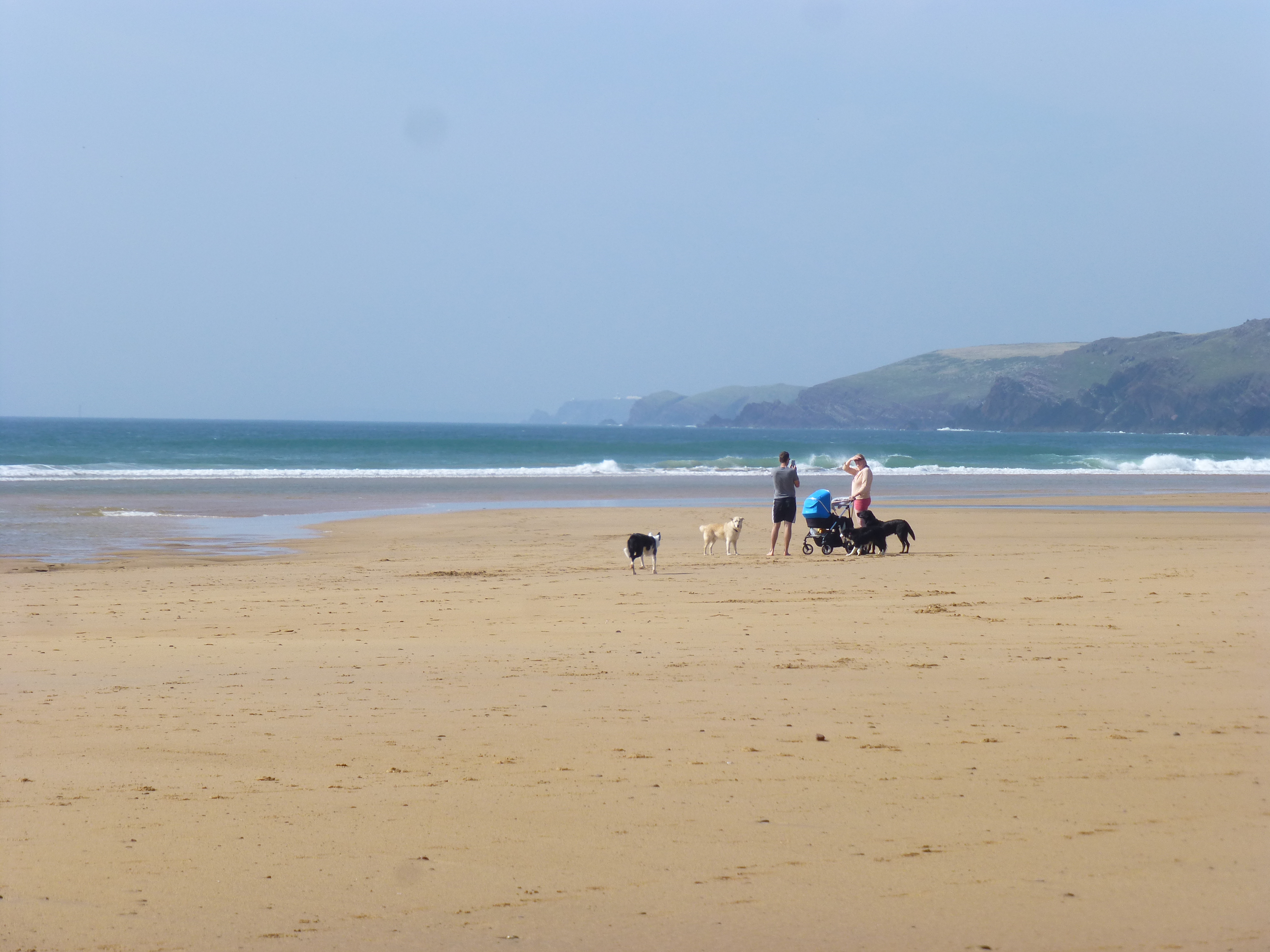
It’s been slow going and we have a late lunch in the lee side of red rocks poking out of the sand at the north end of the long beach. The brie we packed into out bread rolls has melted and run in our rucksacks but we’re hungry enough. The sea’s lively, and it’s easy to see why this might be a surfers’ beach, although bathing is dangerous because of strong undercurrents.
 We walk the length of the beach towards the road. It’s fringed by many cars, their occupants dozing in the front seats. We’ve earned ice-creams and eat them on the hoof, climbing up the road away from the coast, since we’ve reached the edge of the military area and can’t follow the sea any further. Soon we’re offered an alternative to the road, the Castlemartin Range Trail. It isn’t an encouraging offer. Regiments of nettles, large and full armed, crowd the path, stinging C’s unprotected legs and even penetrating my long trousers. We emerge from them only to find a notice saying, ‘Beware of the bull’. At this point we take the hint and rejoin the road. The Castlemartin Range Trail must be what passes for a military joke.
 After a dull slog we reach Castlemartin, a sad village with no amenities. Many of the houses look as though they’re owned by old people who can’t afford to maintain them. The only feature, apart from an invisible castle mound, is an old pound that doubles as a roundabout. Five roads converge here, and there’s plenty of traffic, but we see no living person outside a vehicle. There’s over half an hour before the bus so we sit on a bench in the sun and watch the world go by. Close to the bench is an empty army checkpoint box, with an easy chair and a separate portaloo. Some wag has stuck a TripAdviser sticker on the window of the box. At last the Coastal Cruiser saves us from this Beckettian limbo and takes us back, via Angle, to Pembroke.
Leave a Reply