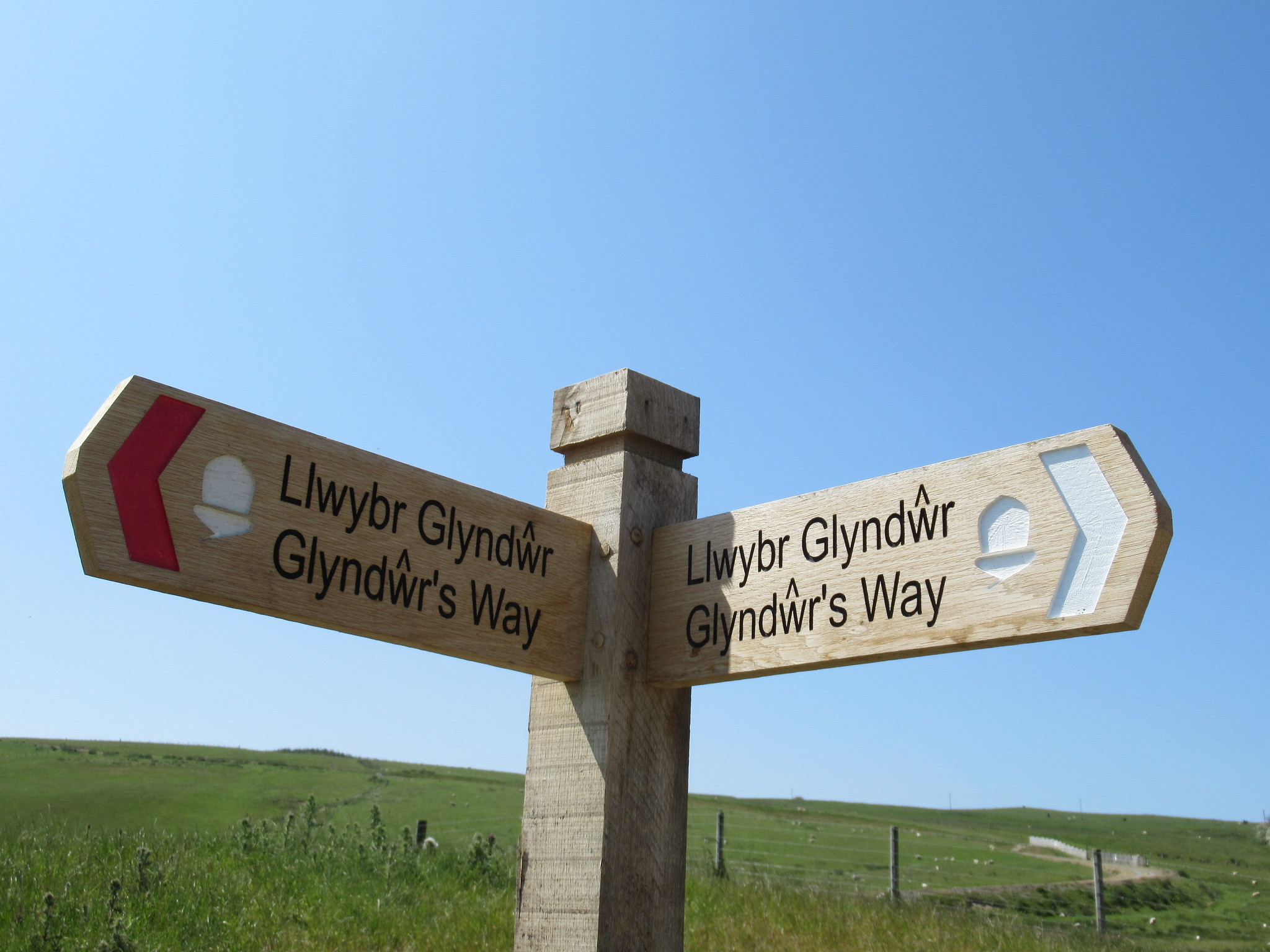
Of all the National Trails Glyndŵr’s Way is the least known and the least walked. Yet it’s also one of most attractive and enjoyable, especially if you’re the sort of walker who doesn’t mind not seeing a lot of other people.

The Way, 135 miles in total length, has two ‘wings’, joined at Machynlleth. The first begins at Knighton and twists its way west to Machynlleth, via Abbey Cwm-hir, Llanidloes and Dylife. The second starts at Machynlleth, passes through Llanbrynmair, Llangadfan and Meifod, and ends in Welshpool. You can make a triangle of the walk by using part of the busier Offa’s Dyke Path to link Welshpool and Knighton. The two historic counties the Way passes through, Radnorshire and Montgomeryshire, are some of the least populated areas in Wales. It’s a land of scattered farms, where, on the surface, little seems to have changed for decades (though it’s sad to see the recent spread of giant chicken breeding sheds).

We walked the Way in two stages, Knighton to Machynlleth (six days) and Machynlleth to Welshpool (five days), at an average of twelve miles a day. There are no mountains to climb: the highest point is the flank of Foel Fadian, at 500 metres. But the Way is very hilly, and there’s almost no sustained walking on the flat, so the body can become cumulatively quite tired after several long days of constant ascent and descent. Most of walking is through fields and woods and quiet lanes, with some upland moorland (sometimes boggy) and forests.

You can walk for an hour or more without meeting anyone. Other Glyndŵr walkers are rare birds. We only met one in five days on the northern stretch – though we may have been unaware of others, since most people walk the Way in a clockwise direction, in order to make sense of the guidebook. On the other hand, sheep are everywhere. May and June are good months for spotting flowers and birds, including buzzards, kites and skylarks.

You won’t find many villages on the way, let alone towns, and many village shops and pubs have closed. So you’ll need to plan the trip carefully. Accommodation is sparse and chances to buy sandwiches, apples and Magnums are equally thin. Make sure you have enough water with you: it’s heavy to carry, but you’ll really regret not taking it if you run out in the middle of nowhere on a hot day. We used the services of Celtic Trails to book our accommodation, ferry us about where needed, and transport our luggage. This is expensive, but relieves you of a lot of work, and allows you to enjoy the trip without worry. Remember that mobile phone reception can be sporadic in some parts.

This is deep, green Wales, not well known even by people who live here. There aren’t many ‘wow’ moments along the way, just a continuous flow of lovely landscapes, unless you count Powis Castle and the two great reservoir dams, Clywedog on the southern wing and Vyrnwy on the northern. It’s easy to miss the cultural and historical features of northern Powys. Glyndŵr himself is elusive, except in the Parliament House at Machynlleth (he fought a battle against an English army at Hyddgen near Pumlumon (an optional extension to the southern wing of the Way). Writers and artists, past and present, are associated with the route, one example being Ann Griffiths, the eighteenth-century religious poet, remembered in Dolwar Fach, Dolanog and Pontrobert. The southern wing is mainly English-speaking, but you’ll still hear plenty of Welsh spoken along the northern wing.

As a National Trail the Way is exceptionally well signposted, though occasionally signs have disappeared or collapsed, so you need to keep awake (we went astray more than once) and check where you are, for example by using the ‘red arrow’ on the Ordnance Survey app, excellent value at £35 a year. The National Trail published guide is unfortunately out of print. Paddy Dillon’s Walking Glyndŵr’s Way (Cicerone, 3rd ed., 2024) is useful, but its maps are from the OS Landranger (1:50,000), not Explorer (1:25,000) series and therefore inadequate. The Way has a website, useful for checking for diversions.

Glyndŵr’s Way, day-by-day
Day 1: Knighton to Short Ditch
Tuesday 6 June 2023
Day 2: Short Ditch to Llanbadarn Fynydd
Wednesday 7 June 2023
Day 3: Llanbadarn Fynydd to Abbey Cwmhir
Thursday 8 June 2023
Day 4: Abbey Cwmhir to Llanidloes
Friday 9 June 2023
Day 5: Llanidloes to Dylife
Saturday 10 June 2023
Day 6: Dylife to Machynlleth
Sunday 11 June 2023
Day 7: Machynlleth to Llanbrynmair
Saturday 1 June 2024
Day 8: Llanbrynmair to Llangadfan
Sunday 2 June 2024
Day 9: Llangadfan to Pont Llogel
Monday 3 June 2024
Day 10: Pont Llogel to Meifod
Tuesday 4 June 2024
Day 11: Meifod to Welshpool
Wednesday 5 June 2024

