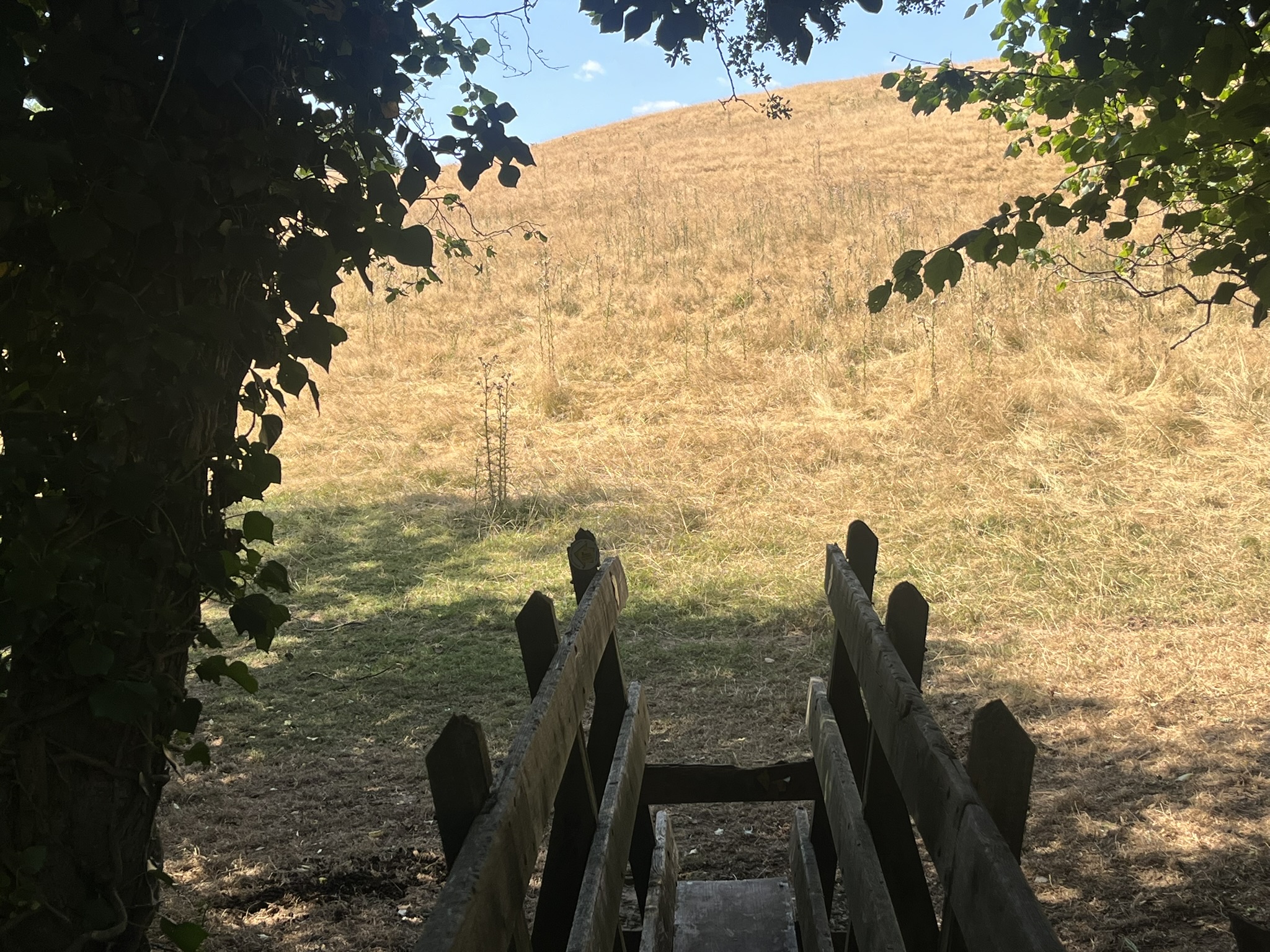
In my cycling days I used to mooch round north Monmouthshire often enough, but it’s a while since I did much wandering there on foot, except when tracking Offa. So the Three Castles Walk seemed a good way to rediscover the area – like Radnorshire, a place full of unpeopled paths and quiet lanes.

It’s not exactly a long-distance path. You can walk it comfortably in two days – less comfortably in the extra-hot weather we’ve had recently. Since it’s circular you can start anywhere. I decide to begin at the easternmost point, Skenfrith, on the Monnow, the river that, more or less, marks the border with England. I park the car outside the castle. (I did think about the car park of the Bell Inn, but decided against: the Bell, famous for its cuisine, closed after the disastrous Monnow flood in November 2025 and has not reopened.)

The ‘three castles’, Skenfrith, White Castle and Grosmont, were originally designed by the invading Normans as an ‘iron triangle’, bases for rebuffing or attacking the Welsh, and securing the area as safe passage for armies to overrun other parts of south Wales. The key figure was Hubert de Burgh, earl of Kent (c1170-1243). He seems to have been a bit different from the other thugs, chancers and apparatchiks in royal service at the time. He appears in Shakespeare’s King John, where his conscience prevents him from murdering Prince Arthur, as the king had ordered. Hubert had several useful attributes: longevity (uncommon for his age and status), a keen strategic sense, and an appreciation of best-practice architecture. At Skenfrith, in place of an earlier castle, he built a round keep surrounded by a curtain wall with round towers: the last word in modern defence technology.

The heat is rising. A woman is spread out asleep on the castle mound, and a man swims in the river outside the castle’s water gate. I look for shelter next door in St Bridget’s Church. Outside, house martins swoop, shriek and clatter around the eaves and the wooden bell-tower. Inside, the walls show painted inscriptions and a velvet-and-linen cope or cloak, a survivor from the middle ages. Embroidered in the centre is the Virgin Mary, flanked by what are supposed to be winged seraphs but which look exactly like a couple of hares.

It’s already 10:30 by the time I’m ready to start the walk – unwisely late, considering the temperature’s due to climb to 27°C or more by the afternoon. Clouds of butterflies skitter about as I walk west along a narrow lane to Norton. Next, I edge a cornfield and a pea field, the seeds small and withered by the heat. Only a few plants can withstand the lack of water, and they’re often weeds, like rosebay willowherb, thistles and ragwort. I’m already wiping sweat off with my sunhat as I climb slowly out of the valley. The stream to my left is almost dry. Across the fields I pass a farm called The Lade, another just called The Farm, and reach a road, where there’s a third farm with a curious name (and a curious statue), The Boot. The road, an old stagecoach route, follows a ridge west, with long views to the south of the county. A sharp turning in the road is marked by a wayside stone inscription, now in need of restoration: ‘Travellrs Seat, erected 1780’.

The path turns here, down a track. The track turns into a rough sunken path, down towards a ford, Rhyd-yr-ago, past the ruins of the Traveller’s Rest pub and smithy (coaches had their horses changed here). At the next farm, Llan-llwyd, I somehow go astray and have to retreat and re-climb the hill, with sweaty self-recrimination, to get back to the right route. From here there are wide views of Blorenge and Skirrid. Suddenly I notice a plume of smoke rising from beyond the horizon, somewhere south of Blaenafon. Another big grass fire is raging, out of control. As time goes on the plume lifts and spreads.

Across a wooden bridge I reach a shady dingle, a good spot to eat sandwiches and cool the body. Then, on through golden, sunburnt fields, under huge electricity pylons, on a road up past two farms called Cwm, and across more fields, to reach castle no. 2, White Castle. Unlike Skenfrith and Grosmont, no village ever grew up by the side of White Castle. Again unlike them, it sits on a hill instead of by the side of a river. It’s a slog to crawl up the long lane to arrive there, and I switch to walking backwards from time to time to relieve the tendons.

The heat is now at its extreme, and there’s just one bench inside the inner ward of the castle that offers even partial shade. I slump on it and observe the other visitors. There’s a family here from London. Most of them are playing football, but a small girl emerges from a doorway behind me and announces, ‘I’ve stolen the king’s crown.’ That may amount, I reply, to a capital office. She asks whether they might chop her head off, ‘like they do in America.’ Changing the subject, she tells me, ‘I don’t live in Wales, but we have a new President in our country. His name is Andy Burnham.’

Before this Alice-like conversation can go further the girl skips away. My next meeting is with a man carrying poles. We compare walking notes. He’s travelling Offa’s Dyke Path with friends. We’ve been talking for ten minutes before we discover we both lived in Aberystwyth and speak Welsh. We switch languages. He seems to have heard of my name. His phone rings – his friends have now noticed he’s missing – and he tells them, ‘I’m in the castle and I’m having a chat with a famous person …’ This seems far from the truth. I introduce myself to the friend on the phone as ‘Gareth Edwards’.

Up to this point I’d not met a soul since Skenfrith, so these meetings restore some sociability. But now I’m ready to move on. I spot a sign pointing the way to White Castle Vineyard, but it’s too late in the day to take up its invitation (‘tours, light lunches, wine tasting’). There’s a long, easy descent through parched grass fields, with long views towards Skirrid and the length of the Hatterrall ridge. Beyond Pont Gilbert the path bisects two minor roads, across a cow field, to reach Glen Trothy, recognisable as an old gentry estate by its open fields and grand planted trees.

The path emerges at a minor road. This is where I leave the Walk for today. But there’s an extension of a mile or so, through the hamlet of Bont, to reach Porth-y-Widdan, short of Llangattock Lingoed, where, thanks to my friends P and C, I’ll be spending the night. Sitting in their garden in the evening we become aware of a mist clinging to the valley, and an acrid smell in the air. The wind, faint though it is, has blown the wildfire smoke over the western ridge and far across the land – a distinctively twenty-first century miasma.
Leave a Reply