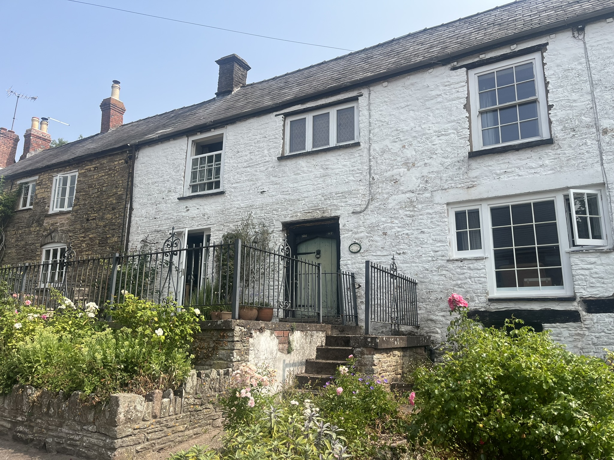
Another hot day looms. This morning, to avoid the worst of the late afternoon heat, I’m starting out earlier, at eight o’clock. P & C have kindly given me a lift to where I left the Walk yesterday, south of Bont. A slight breeze has blown in overnight. The road leads eastward. Swifts dart about, calling to one another and diving around my head.

I pass Upper Green, a large farmhouse of medieval origins, with seventeenth and eighteenth century additions. Only the back is visible from the road. Soon after, the route takes a left turn, to the nineteenth century church of Llanfair Cilgoed. The building has no special interest but it does offer tea and coffee to the weary traveller. It also has a long prehistory. There seems to have been a pre-Norman church here. In the early thirteenth century Hubert de Burgh, a big noise in these parts, gave the church and its lands to the Cistercian monks of Abbey Dore, and the chantry chapel they built survived in some form to the eighteenth century. You can still see the foundations of the chapel, fishponds and cultivation terraces south of the later church.

The path passes through an overflow cemetery – a newly dug grave is draped in black tarpaulin, awaiting its occupant – and skirts an oat field, before crossing fields of sheep and cows and following the Bont Brook uphill. The trees bordering the stream give some shade. I pass an apple orchard and a large wheat field before joining a road. After a short stretch the path turns abruptly right and makes an alarming straight line up to the top of Craig Syfyrddin.

I take a rest at the bottom. This is going to be a hard climb, even though the temperature hasn’t yet peaked. As I start plodding up across the fields, with frequent stops for recovery and water, I spot a woman walking briskly down towards me from the wood on the hilltop. As we cross, we exchange walking experiences. She’s a local who’s already put in several miles this morning, in training for some great walking or running feat in the Alps. I plead old age to excuse my slow progress. We glance west at the grass fire still burning near Blaenafon. She too had registered the reek from the smoke drifting along the valley last night.

By the time I reach the wood at the top the woman has long vanished from sight. The Ramblers have kindly left a bench just under the trees, and I rest for a few minutes to take in the scene, a patchwork of fields as far as the eye can see, but all of them yellow, scorched and bare after weeks without rain to counter the sun’s aggression. The entire land is suffering severe stress. It’s a sight that would change the mind of most climate change sceptics – if any of them could be bothered to make the ascent.

The climbing isn’t over. There’s a fresh clamber up through the trees to reach a lateral path that continues along the contour, just below the brow of Craig Syfyrddin, for a good mile or so. There are some conifers along the way, but most of the trees are deciduous, like birch and beech, and they make for a soft-footed walk, out of reach of the sun. Eventually the wood gives out and the path starts a gradual descent along a rough track and then, beyond Barns Farm, a narrow road, to the Tresenny Brook. The village of Grosmont has been in sight for a while, but the path keeps an unpleasant surprise to the very end: a short but steep and sweaty climb from the stream to the main street.

The official guide-notes for the Walk call Grosmont ‘sleepy’. A better description today would be ‘closed’. The Angel Inn doesn’t open on a Tuesday. The only shop in the village shut for good last year. The streets are mostly deserted. And when I reach the castle I find the way barred. Staff from Cadw are at work replacing the wooden bridge that leads over the ditch to the entrance, and I have to make do with walking around part of the outside to gain some impression of the castle’s fearsome grandeur.

The one building that’s open is the Church of St Nicholas. A smiling woman arranging flowers welcomes me in. Built on a sloping site, it’s a surprisingly large, sandstone church, with an octagonal tower topped by a tall spire. The nave has a primitive feel, with its stripped walls, double arcade of columns, uneven stone slab floor and thirteenth-century roof. Among the many memorials inside is a sculptured tombstone from 1636 depicting Charles William(s) of Goytre, mayor of Grosmont, and his wife Joan Baker: they stand stiff and pious, but proud in their puffy clothes. Also on display is the church’s original clock mechanism, apparently a rare variant. Keeping exact time, though, doesn’t seem to be a preoccupation of the easy-going Grosmontians.

I’d planned to have a restful lunch break in Grosmont, but now I don’t feel in the mood for rest, lunch or a break, and in any case there’s a lack of shady and comfortable places to sit. I set out from the village, south-east along the Skenfrith road. The Walk looks as if it might follow a kind and gentle course down-river. But no, it has other ideas. A path leaves the road and climbs pitilessly through baked fields, back up the eastern flank of Craig Syfyrddin. By now the sun is at its height, and ferociously hot. I need to make frequent stops, in the meagre shade of low hedges, and sip what little remains of my water supply.

It’s a relief to reach woodland and shade at the top of the fields. But the climbing isn’t over. It’s no longer steep, but the path still leads upwards, weaving its way through the birches, until, near the top, I get to a clearing. At its centre is a magnificent beech, its ancient branches dragging on the floor, and around it, years of fallen leaves and mast.

At last, bright light ahead signals a stile, and the wood ends. Another long view opens up, and I start to descend, with big corn fields to my left and a series of woods to the right. Towards the bottom the path seems to peter out, and I can’t find a way through the trees and dense foliage ahead. After a lot of to-ing and fro-ing I find a way through and escape to a road. A track branches off to Box Farm, and beyond it the path crosses a series of fields parallel to the Monnow. At the last of these I choose the wrong side of a barbed wire fence, and after five minutes’ walking I find I’m trapped. Rather than go all the way back, I retreat a short distance to find a low section of the fence and risk ripping my walking trousers in levering myself over.

There are no more adventures after that. The path turns into a lane that descends a hill and joins another lane, the one I walked yesterday on the way out of Skenfrith. And so the Walk comes to an end, next to the castle. I’m relieved to see my car is still waiting for me. (P and C told me that locals are becoming irritated by inconsiderate car owners, and I feel a pang of guilt – though not for long.) It’s 2:30pm and the sun is still beating down without mercy. Groups of visitors are having picnics in the shade of the castle wall. But it’s time to go. I say farewell to Skenfrith and leave for Abergavenny and home.

Leave a Reply