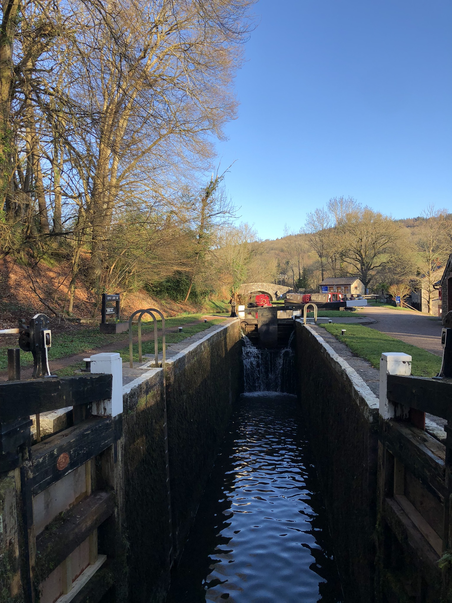
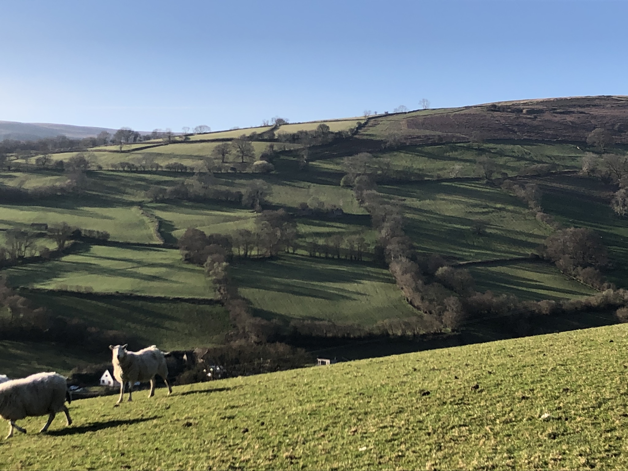
In the Coach and Horses I’m awake early. The day’s bright again, and after a modest breakfast, I’m outside and walking before eight o’clock. I find the lock on the canal, cross on a small wooden bridge and start the journey westward, through trees and then a series of fields, past two farms, Llwyn-yr eos, with its fine old stone barn, and Pen-y-beili. On the slopes to the south, the rising sun casts long shadows across the grass fields from the trees bordering them.
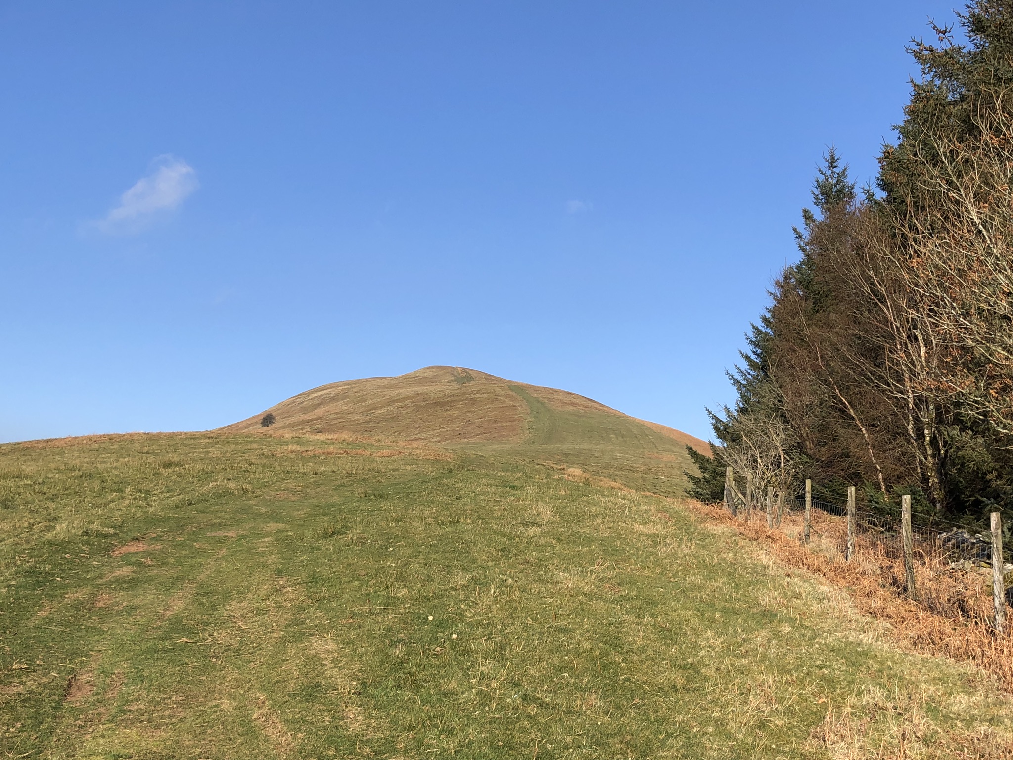
But I can’t be fully awake, because after Pen-y-beili I go astray from the path and find myself climbing more steeply, towards the hill ahead, Tor y Foel. When I realise the error I think about correcting it and rejoining the ‘recommended’ lowland route. But then a minor madness overcomes me, and I decide to carry on to the hill’s summit. The guidebook calls this an ‘alternative’ route, which it labels ‘tough’ and only worth taking ‘if you are feeling particularly fit and energetic’. I take this as a challenge.
Tor y Foel is what it says it is, a bald belly of a hill, its upper slopes common land dominated by heather. It’s also deceptive and frustrating, because it hides several false summits, and it’s steeper than it looks on the map. The reason to climb it is for its excellent views (and the many skylarks, who enjoy the land-cover and the height), but the sky isn’t as clear as yesterday; it’s obscured by haze and a few banks of passing cloud. There’s also a cool breeze. So I don’t linger at the untidy pile of stones on the summit, but enjoy a brisk descent along a grassy track to rejoin the recommended path.
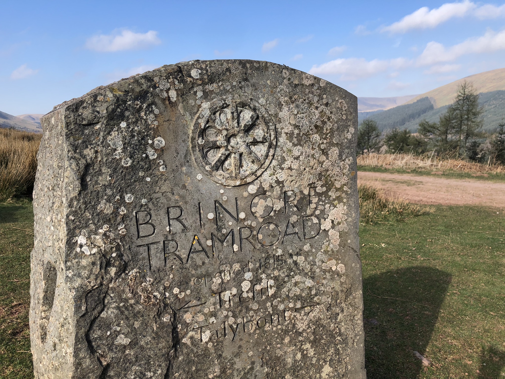
Next I’m on a metalled track uphill, and eventually reach an inscribed stone that marks the line of the horse-worked Bryn Oer or ‘Brynore’ tramway. It was built by Benjamin (‘Big Ben’) Hall in 1815 to connect the canal at Talybont-on-Usk to the collieries of Trefil and the ironworks of Rhymney. The route now follows the tramway downhill: it’s a hard, stony scramble down, with many fallen trees half-blocking the way, until I reach what’s now the Taff Trail linking Cardiff and Brecon. This was once the route of the Brecon and Merthyr Railway to Talybont.
All along this section you catch glimpses below of the long Talybont Reservoir, created in 1931 to serve the Newport area with drinking water. Woods cover the slopes on both sides. Occasionally I can hear the sound of geese that make use of the reservoir, along with other water-loving birds. Thanks to the trees, the birdsong is a rich mix. I stop and note song thrush and mistle thrush, blackbird, robin, blue tit, siskin, wren and goldcrest.
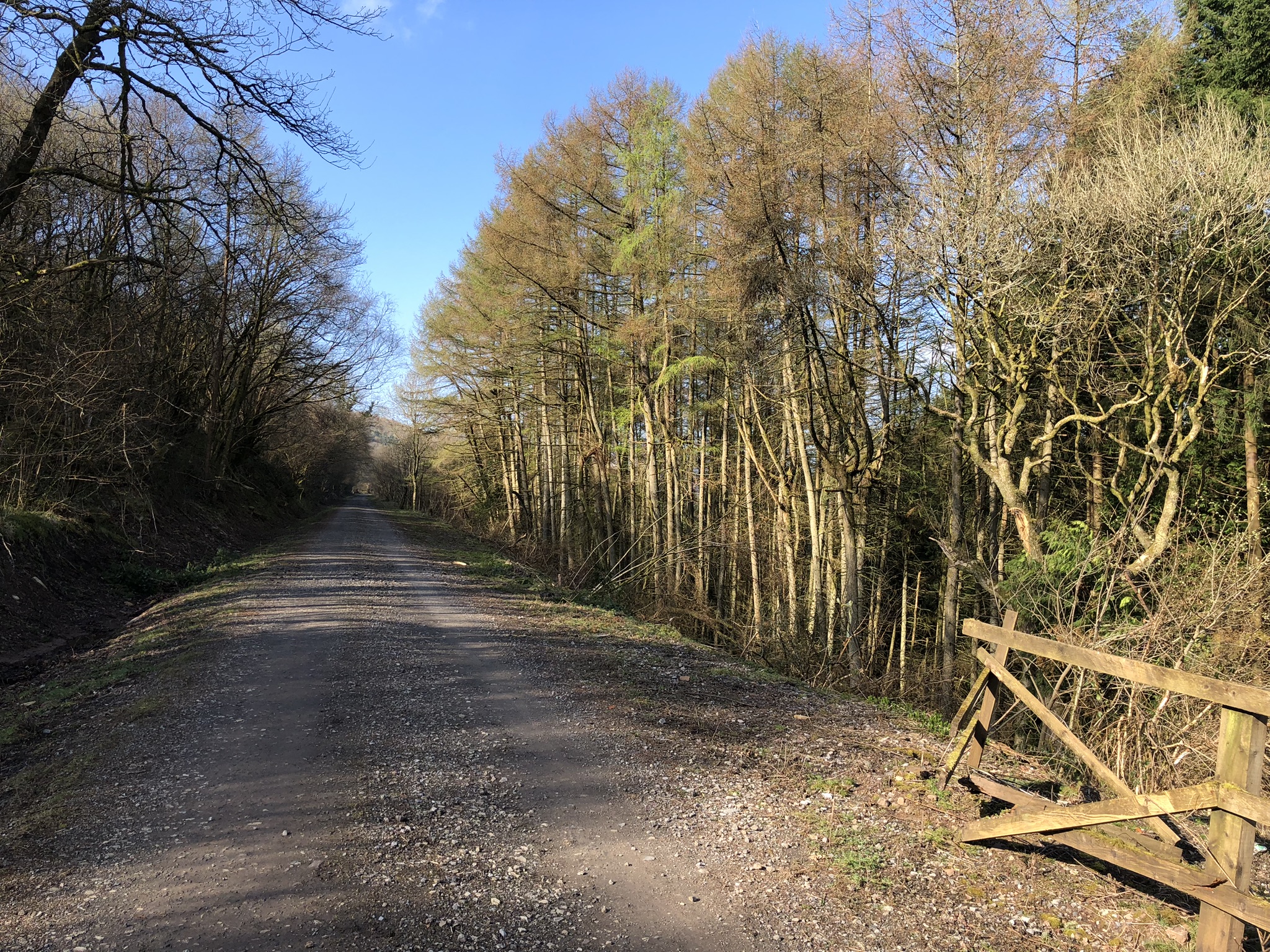
Once on the Taff Trail you reconcile yourself to several miles of relentless railtrack-walking. It’s not flat going, though. The engineers employed in the early 1860s by the contractors, David Davies and Thomas Savin, laid the track carefully, with a persistent, very gentle upward gradient. The climb isn’t really perceptible to the eye, but the leg muscles register that they need slightly more energy than they would otherwise. It adds to the niggling feeling of slightly unnecessary effort.
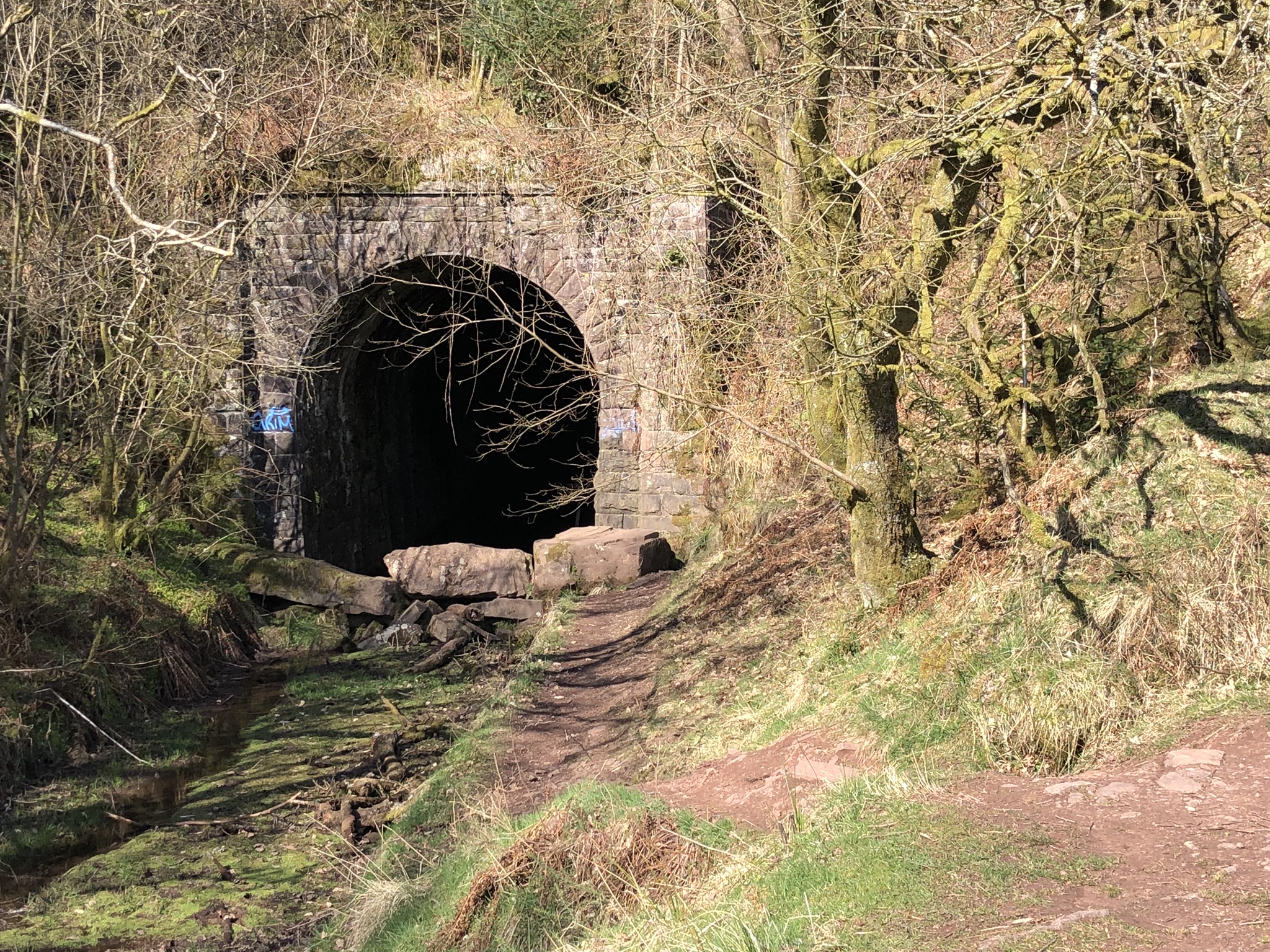
Finally, the train route disappears into a tunnel – it reappears near Torpantau Station, the northern terminus of today’s Brecon Mountain Railway – and our track emerges on to tarmac, the Brecon to Talybont road.
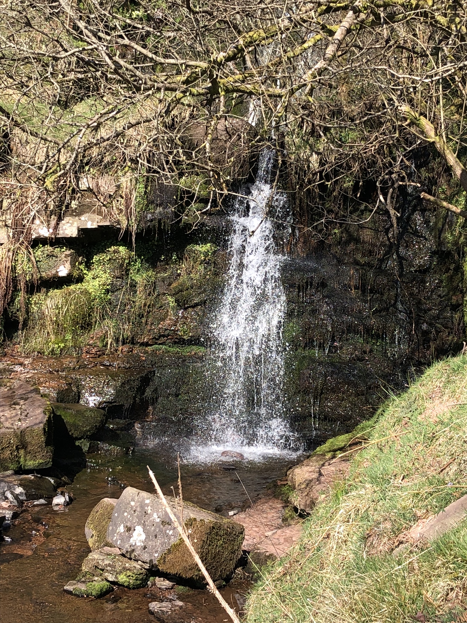
Suddenly, everything changes. So far today I’ve met almost nobody, but when I get to the road, there are three or four vans disgorging flocks of schoolchildren. Some groups have helmets, so maybe they’re heading for caves or rock climbs. Another, adult group is preparing for the steep climb up Craig y Fan Ddu. The air’s full of voices, and solitude has vanished. I decide to have a break by the twin waterfalls, a short walk from the car park, to give time for the group to get well ahead of me on the way up. Even here I’m interrupted by a man with a miniature drone, which makes its own small buzzing contribution to the din.

The mass of Craig y Fan Ddu has been looming for a few miles. The way up it from the south is one of the most popular climbs in Bannau Brycheiniog, and the path has been ‘stone pitched’ – creating irregular steps built with end-on stones – to combat soil erosion. It’s a tough climb, but I soon find myself overtaking the people who went ahead – some of them seem unused to mountain walking, to put it kindly – and I’m on my own by the time I reach the top. The path then hugs the east rim of the escarpment, with a big view back to the east. The earlier breeze has turned into a stiff wind, funnelled up from the valley below, and I’m relieved when the route, when it reaches the stream at Blaen Caerfanell, makes a sudden lurch to the south-west, across bare peatland.
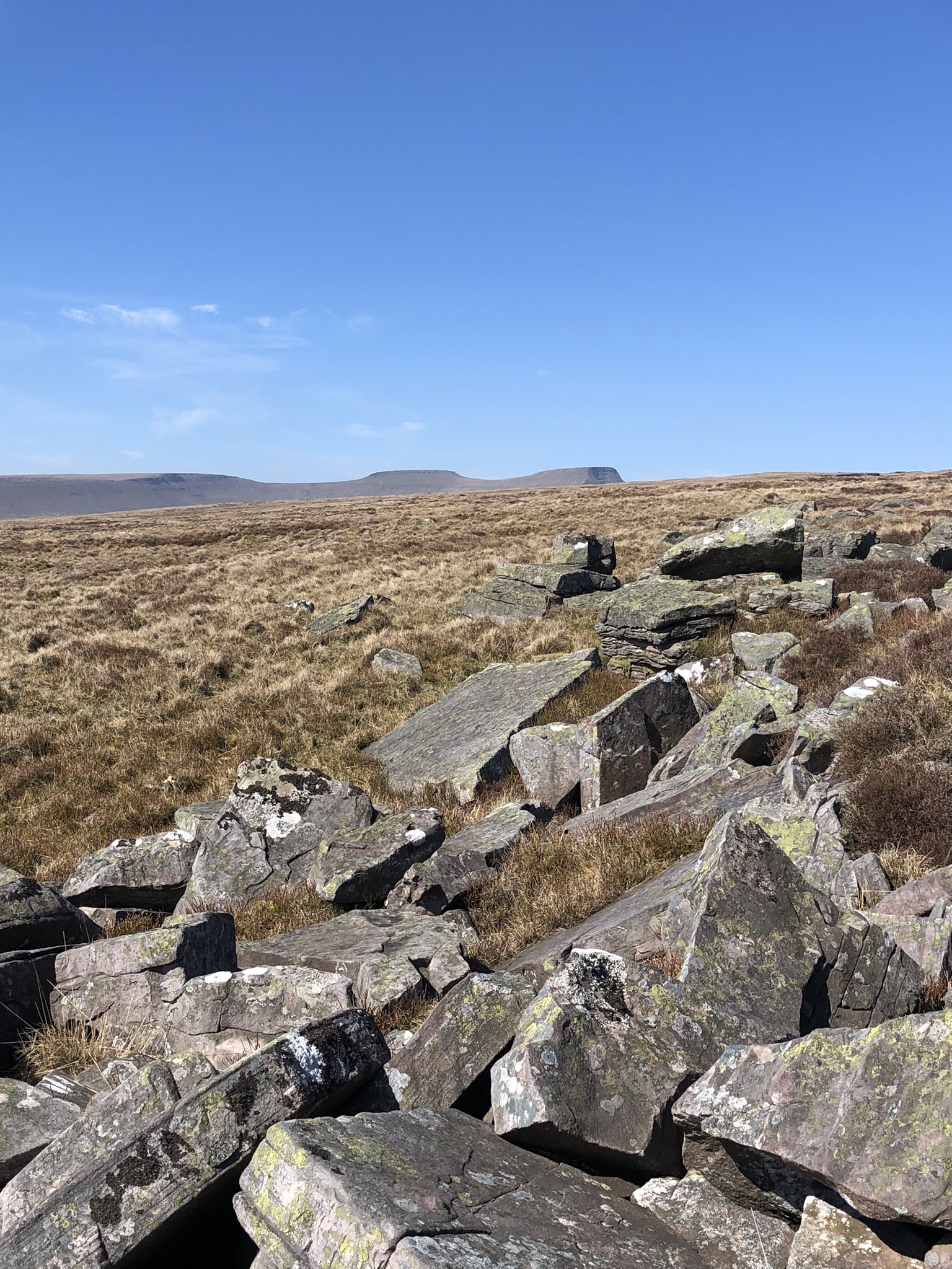
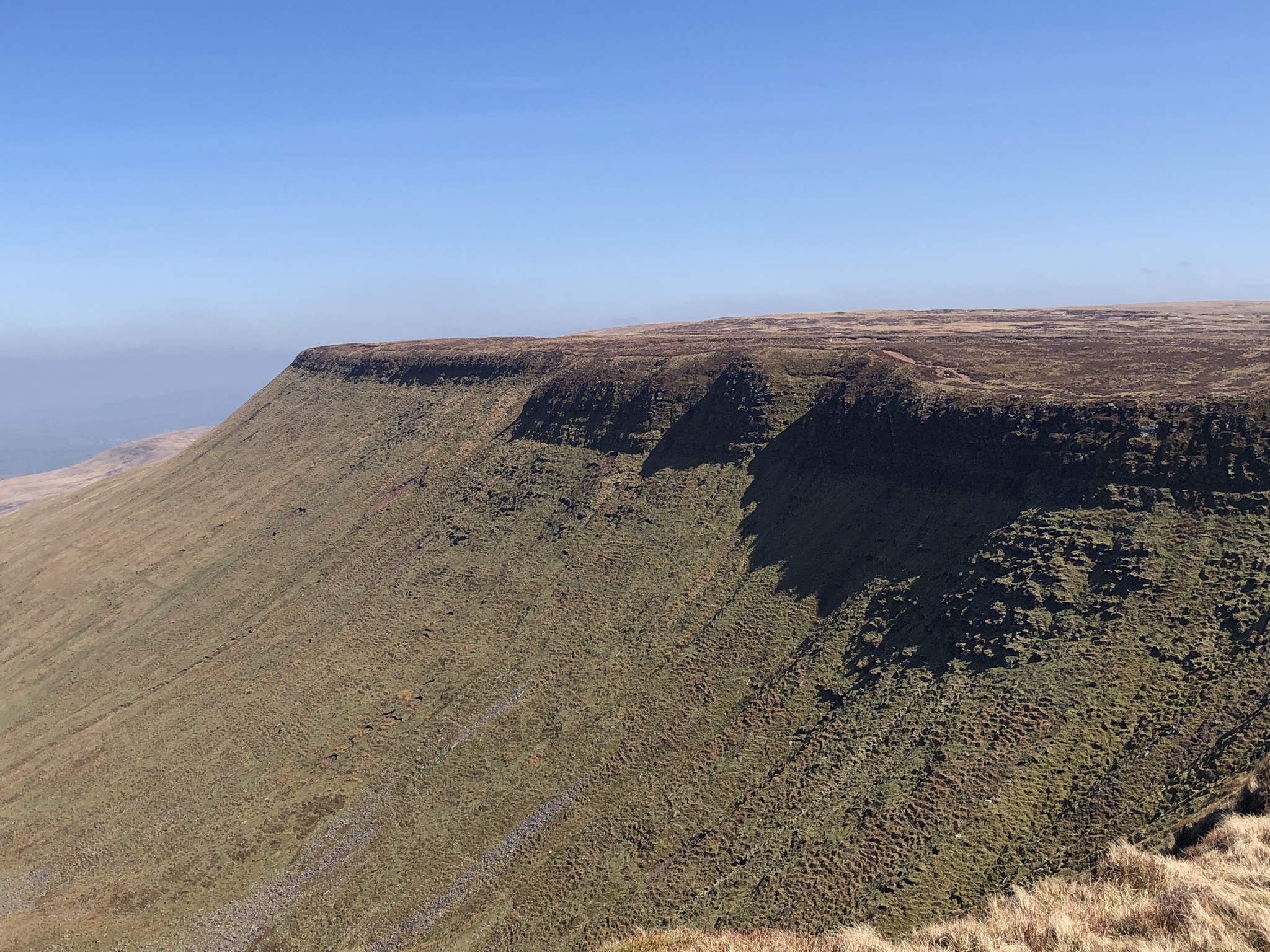
The wind’s still quite strong, and after a while I shelter behind what the map calls ‘Pile of Stones’ to have a bite to eat. The land around, Gwaun Cerrig Llwydion, is a boggy and featureless plateau, but the path ahead is easy to find: periodic cairns help, and you’re often walking on long, horizontal slabs of bare rock. This stretch ends in an epiphany. Without warning you find yourself at Craig Cwmoergwn, the edge of a north-facing escarpment that extends in a giant wall from far to the east as far as Pen-y-Fan and Corn Du to the west. Brecon and Breconshire lie spread out far below.
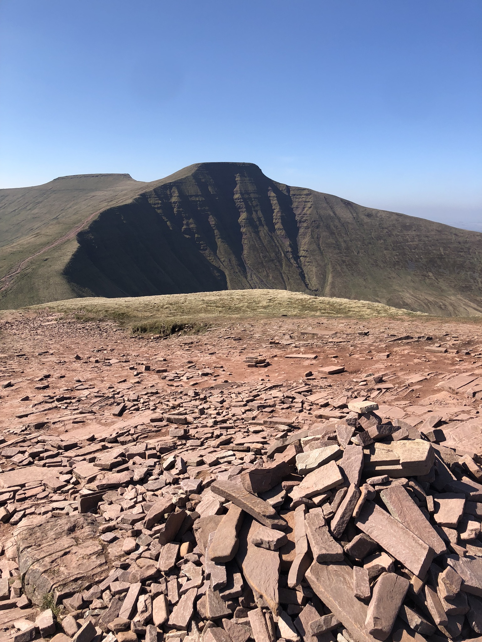
The path follows the rim of the escarpment to Fan y Big, with its less than impressive ‘diving board’, a stone that juts out over empty space. Yet another outward bound group of youngsters is sheltering in the lee of the summit, swathed in padded jackets and hoods. Like almost all of the ones I’ve met so far, they seem to be here under duress rather than for enjoyment.
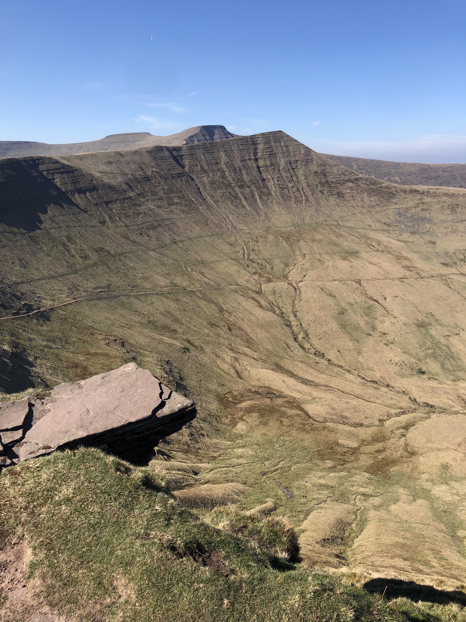
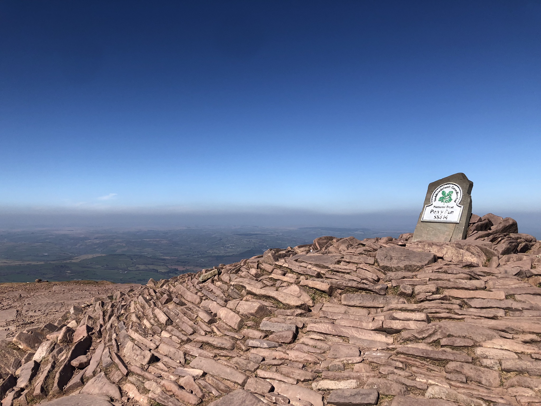
The next peak is Cribyn. The official route skirts round the bottom of it, and the guidebook is pragmatic: ‘If you decide to miss out Cribyn nobody will blame you … you are meant to be enjoying yourself.’ That’s enough of a provocation to send me up it. Another steep, slow climb. That leaves the final, toughest challenge, Pen y Fan (886m). By now I need a rest every few minutes, and it takes half an hour to reach the windy summit. I was expecting a crowd of people here, but there are few, and no one lingers.
All that remains is to drop carefully down to Bwlch Duwynt, where the wind has strengthened into a gale (the clue’s in the name) and then join the joyless ‘walkers’ motorway’ down to the massive National Trust car park at Pont ar Daf, and the end of the day’s walk. It’s been a long day, and a long way – almost 20 miles, all told – but a fine experience. The next stage, which starts on the other side of the road at Storey Arms, will be new territory for me. And surely much more solitary.
Leave a Reply