If yesterday was Mountain Day, today is the Day of the Three Rivers, Afon Machno, Afon Conwy and Afon Llugwy. And because the Trail, on the whole, follows the course of the rivers, the going promises to be much less challenging than yesterday’s. The other factor is that yesterday’s furious wind has dropped to a slight breeze, so that walking is again a pleasure and not a battle.
Penmachno is a small, quiet village. There’s a pub and a shop, and St Tudclud’s church. The church is closed, which is a shame, since we miss seeing the post-Roman inscribed stones inside (including the mysterious Carausius inscription). Tudclud seems to have been a modest saint: he’s unknown outside Penmachno.
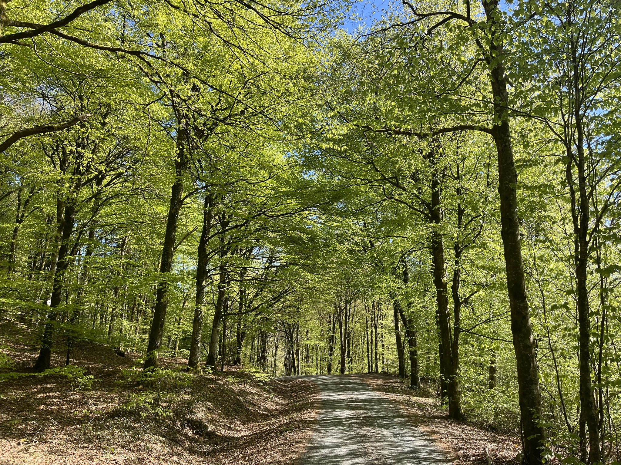
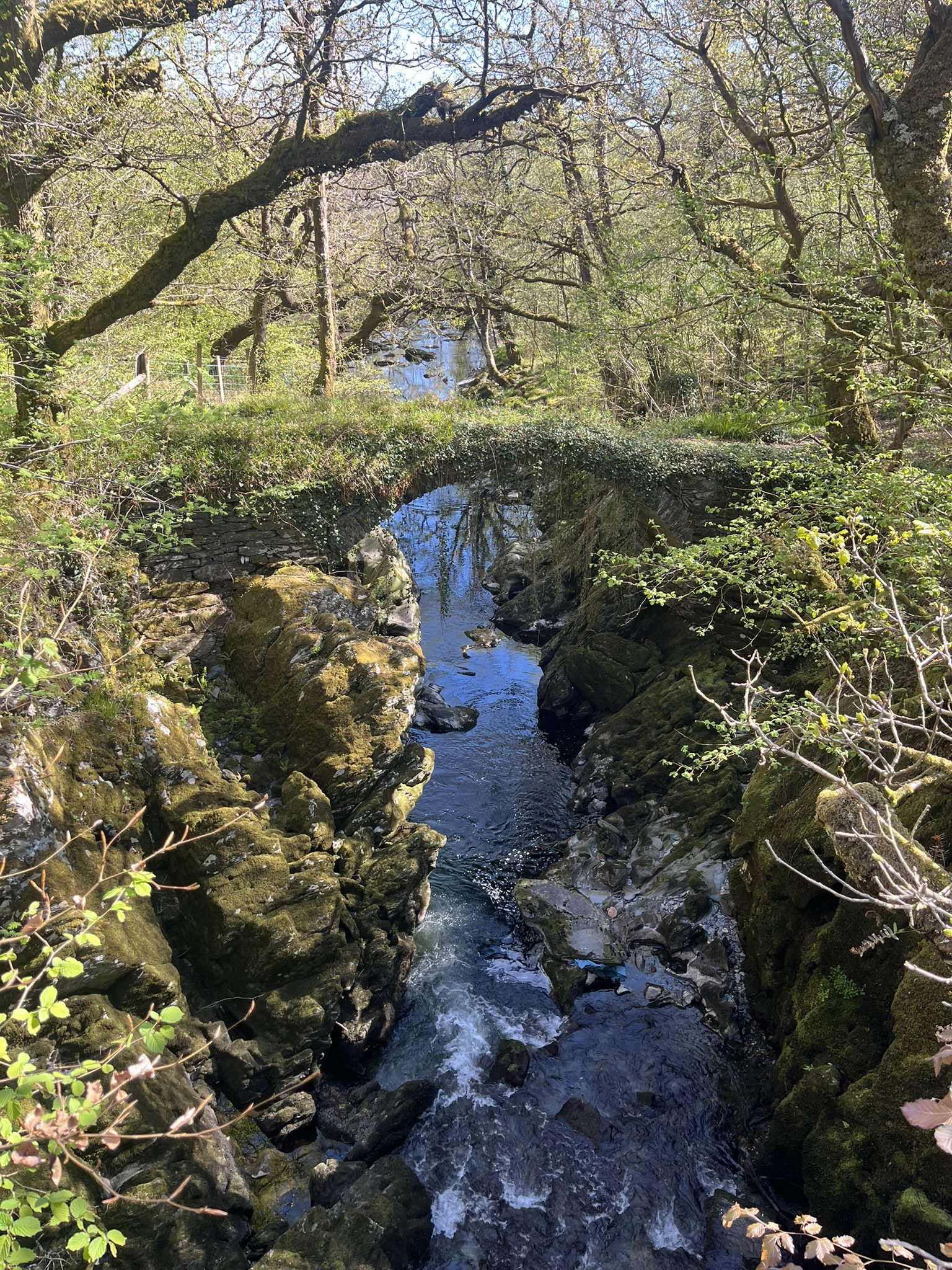
We climb towards a wood, to the north of the Machno. Sounds drift up to us on the still air, of young children at play outside the primary school and of young lambs in the fields below. We get occasional views of the valley through the trees as we move north-eastwards along a forest track, flooded with light shining through the fresh leaves of the beech trees on either side. We’ve walked quite a distance along the lane that replaces the track before realising that we’ve made a mistake, and that we missed an unsignposted lane turning back to our right. We retrace our steps for half a mile to regain this lane, then descend to cross a bridge across the river (an older and slimmer crossing, the ‘Roman bridge’, is close by).
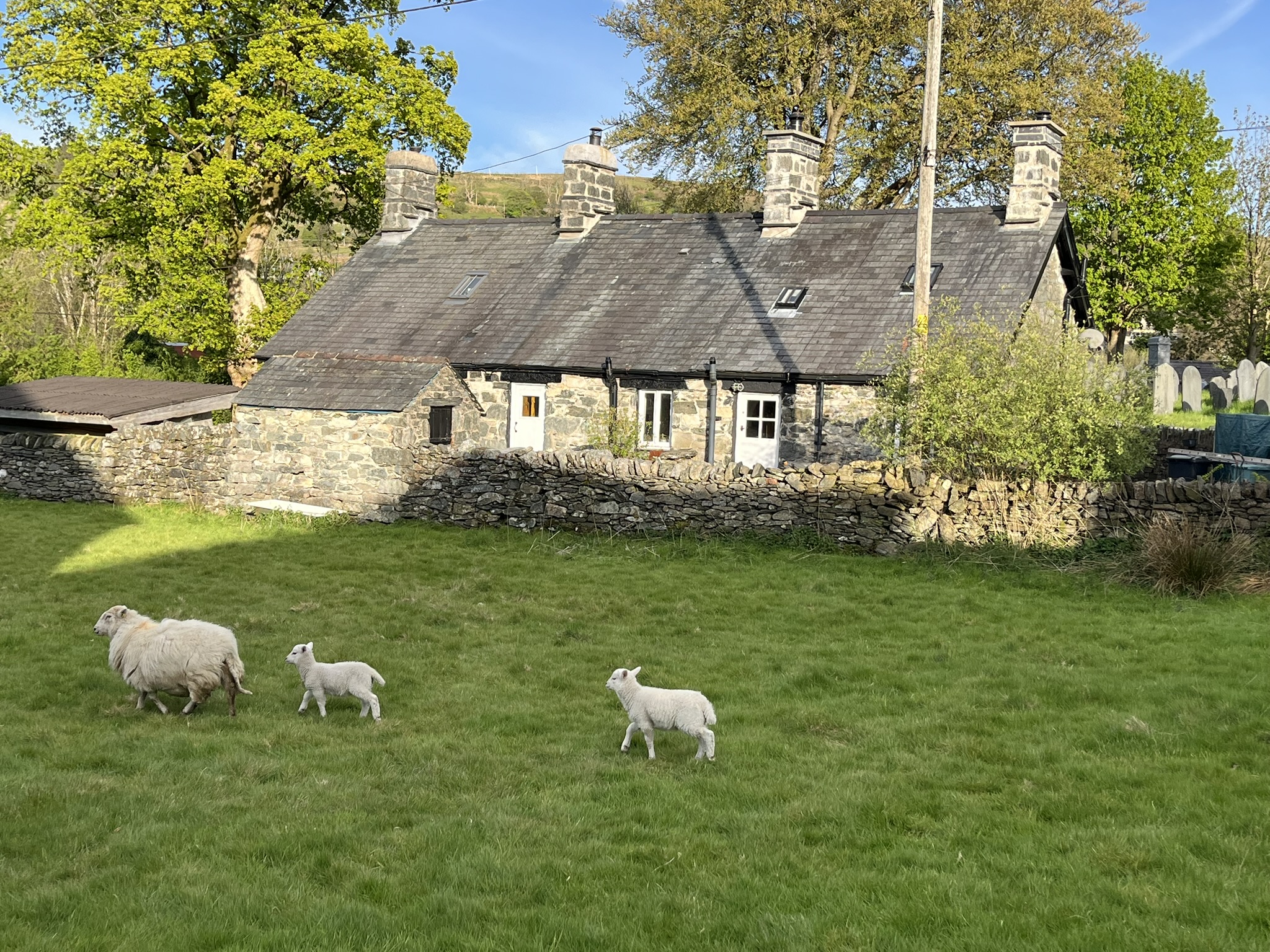
A minor road takes us to the main road where the Machno joins the Conwy. To our left are fields with munching sheep and their tiny lambs. We consider the question of whether sheep find any pleasure in eating grass for most of the day. Or whether they would give up grass if they could find a suitable alternative source of food that was more nutritious and less of a strain on their jaws. The discussion is interrupted when we reach the Conwy Falls, far below us in a gorge.

Where the roads meet stands the Conwy Falls Café, designed by Sir Clough Williams-Ellis in 1957, and still featuring his hallmark turquoise colours. We stop here for a coffee. As we leave, we spot the Belgian walkers we met yesterday, and exchange a few words. The man is still wearing his red dragon headscarf, as if he were a paid-up member of Plaid Cymru (not impossible: there are many Plaid posters here, just a week before the Senedd election).

The path now shadows Afon Conwy as it flows northward, at first on a woodland path immediately below the busy A5 road. The path turns into a track. It emerges from the wood, the peak of Moel Siabod just visible in the distance, and passes the entrance to the Fairy Glen. The admission fee is £1, a ridiculously cheap price, we agree, for the privilege of meeting fairies. We press on and cross the Conwy to follow a lane on the left bank to Betws-y-coed. We stop in a café in the town for a bite to eat, then continue river walking – it’s now Afon Llugwy – along the main road. Betws, to its credit, has a plethora of outdoor shops, and I replace a sunhat I’d left behind at a stopping place some miles before (this is by no means the first time I’ve lost walking hats in exactly the same way).

There are plenty of people promenading along the twisting paths beneath the riverside trees. Lulled into carelessness, we make the second navigational error of the day. After half a mile we realise we’re too far from the river, and have to turn back quite a distance to find the right path. The Llugwy is a fine river, one of many moods, and we follow its course to the Miners’ Bridge – actually two wooden ‘staircases’ that don’t meet but land on a connecting rock in the middle of the river. A predecessor bridge, narrow and precarious, was once used by lead miners. We agree that this earlier version, shown in an old photo, would have been more interesting.

After this pastoral stretch we leave the river at the bridge and struggle up a steep slope – by now the heat is telling on us – to reach a track through woodland. Eventually the track leads back towards the river at the Swallow Falls, and we rest on a bench at a viewpoint to admire the rush of waters, impressive even after a dry period. A runner arrives, takes a quick shot of the Falls over our shoulders, and hurries on. Then more forestry walking, until we come to the main road and Tŷ Hyll (the Ugly House), built of huge irregular, shapeless lumps of rock. Today it’s owned by the Snowdonia Society. By now quite dehydrated, we buy drinks from the cafe inside, and as we’re drinking them who should arrive but the two Belgians. Again, we exchange words, and agree it wouldn’t be a surprise if we meet again (though we don’t).

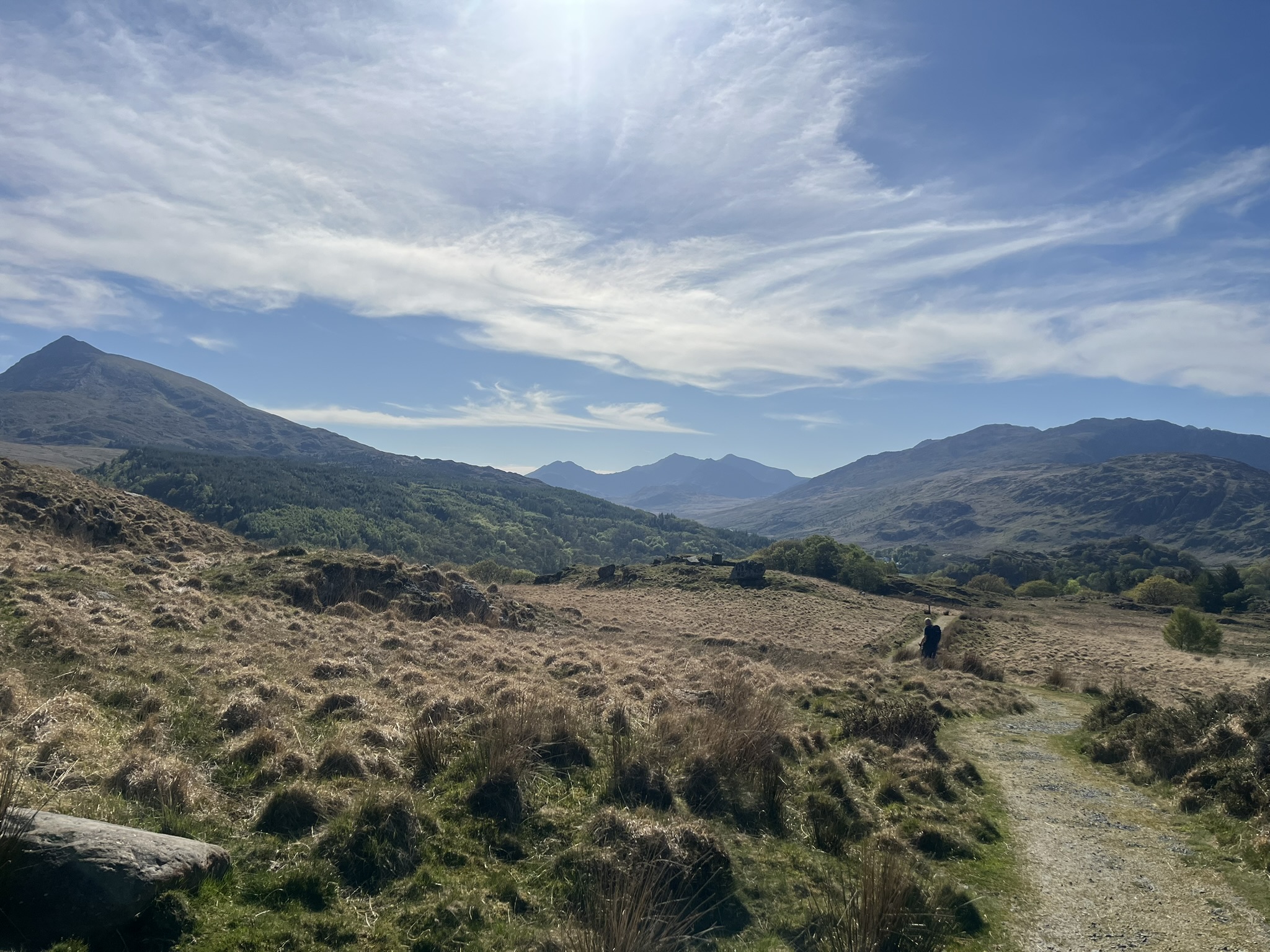
The rest was needed, because next we face a steep climb up a narrow road that eventually leads to Llyn Geirionydd, the remote lake where Gwilym Cowlyd, downcast by the anglicisation of the National Eisteddfod, set up his own Welsh-language festival (it didn’t last). At the top of the hill, a track turns left and winds its way along the contours high above the valley. Finally it starts to descend, opening up into what must be one of the finest approach views of central Eryri: Moel Siabod first, and behind it, Lliwedd, Yr Wyddfa, Crib y Ddisgyll and Crib Goch – all bathed in the late afternoon sun. We get to the Joe Brown shop in Capel Curig just before the time we’d agreed with our taxi driver, and he ferries us back to Betws-y-coed. It’s been a fine day, in all senses.

Leave a Reply