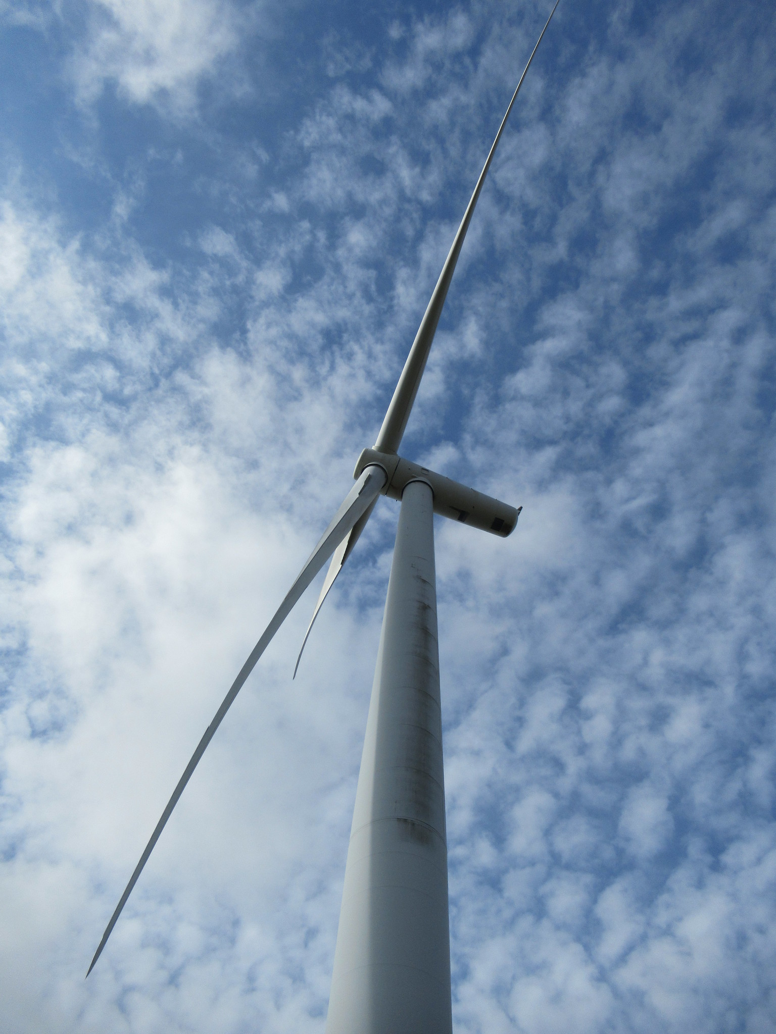
No buses go anywhere near Penlle’r Castell, so C and I are lucky this morning to catch a lift by car. It’s a bright autumn day, with good visibility and little threat of rain. We’re back on the high moor in the middle of windmill land, and the path takes us through another turbine colony, this time on Mynydd y Betws.
When the windfarms up here were first planned there was public disquiet and protest, but the towers and their blades now seem as if they’ve been a natural part of the landscape for years. We both agree that they have a modernist elegance, in their simplicity, whiteness and synchronicity. Walking past them is still an eerie experience. The low swish of the rotor blades seems gentle and reassuring, but at the same time mechanical and sinister. By now this is an old array, and the nacelle of one of the turbines, as we approach it, gives out a regular clunking sound, as if some ball bearings have worn out.

We count sixteen turbines in the immediate area. Every so often signposts point the way to individual towers. Their creators seem to have lacked imagination, and allocated to each one just a bald number, like T6 (presumably ‘T’ for turbine, or tower?), instead of giving them distinctive names. We wonder how often the turbines need to be inspected and maintained. Surely the towers lack lifts, so it must be a necessity – laborious but maybe health-giving? – for the engineers to climb up the spiral staircases hidden in each tower.
As we walk along, following the track ominously marked ‘exit’, views open up all around us. The Amman valley and Clydach valleys are hidden from sight, but we can see north towards Brynaman and the Black Mountain beyond, west towards Bannau Sir Gâr, and south to Port Talbot and the sea. So far we’ve been moving north-east, but at Banc Cwmhelen the path veers south, and keeps to a south or south-south-east line all the way to Pontardawe.

At last we leave the final windmills and descend, only to climb up the next hill, Bryn Mawr. Here the path seems to disappear, and we bounce across grassy tussocks down to a metalled lane, Baran Road, that leads down to Rhyd-y-fro. A Council lorry careers past us, with inches to spare, but the few other vehicles on the lane treat us with respect. To our right are the slopes of Mynydd Cwmllechart, which carries the Cwm Clydach Walk, but ours is a gradual descent to the valley floor, where we cross the Upper Clydach River.
It’s time for lunch, and as if on cue, as we turn the corner into the main Gwaun-cae-gurwen to Pontardawe road, we see a pub opposite, the Travellers’ Well. Unusually for pubs at lunchtime these days, it’s open, and we order drinks. Two old men are supping pints inside; one of them used to be a keen walker and belonged to a rambling club in Pontarddulais.

Refreshed, we push uphill on a scraggy path that leads to fields and then a long-but-thin wood going south. We half-think of deviating from St Illtud and visiting Llangiwg Church, to the east, but we miss the path across the wood, and instead follow the broad path down it, as I’d done some years ago on a circular walk to see Llangiwg. It’s a peaceful place, this broadleaf woodland, but it comes to an abrupt end in the pre-war suburbia of Pontardawe.
We glide gently downhill along an avenue of houses till we reach a public park, one of many established throughout Britain in memory of King George V (died 1935) ‘for the use and enjoyment of the people’. At the bottom we emerge near the church, with its great spire, and the Swansea Canal. From there it’s a short walk to the town centre and a brief wait for the X6 bus back to Swansea.
This isn’t the longest or most strenuous leg of St Illtud’s Walk, but it’s notable for its views, and it’s a must for windmill admirers. Next time will be more strenuous, crossing two more valleys to get to Creunant and then Resolfen. The forecast is for plenty of rain, and we may have to be patient.


Leave a Reply