
Where we start happens to be in south Cardiff, but could be anywhere in the world in 2019. Apartments are stacked in Duplo’d piles, each block with a ‘concierge’ and a primary colour. Sheds, with metal roofs shaped in shallow arcs, are home to companies that shelter behind opaque titles, usually including the word ‘global’. What they get up to is uncertain, and probably they’d rather we didn’t know. There are bigger buildings, like the international swimming pool, built with public money but run by a remote, non-public outfit called Legacy Leisure, ‘in partnership with your local authority’, they say, as if they can’t quite remember which one it is. Nearby there’s a white water centre. But this is an atomised, privatised landscape, devoid of ordinary public facilities like pubs, shops, libraries and community centres. We pass a street named Empire Way: it’s a cul-de-sac.

Close by, but ignored by all this new build, is an older, darker creature – the river Ely, known in earlier times as Afon Elai. It rises on the slopes of Mynydd Penygraig and flows through Tonrefail, Pontyclun and the Vale of Glamorgan before reaching Cardiff. It has few friends today, beyond a handful of environmental groups. Sulkily it ladles its grey soup of debris, chemicals and sewage along Cardiff’s western edge, towards the stagnant pool of Cardiff Bay. A survey for Cardiff Council in 2017 showed that its water quality was ‘poor’ or ‘bad’, according to Natural Resources Wales, and that the river suffers at the hands of multiple abusers: casual litterers, cynical fly-tippers, untreated sewage outflows unknown to Dŵr Cymru, chemical run-off from farmland, and invasive plant species. Fish are few, and wildlife impoverished.

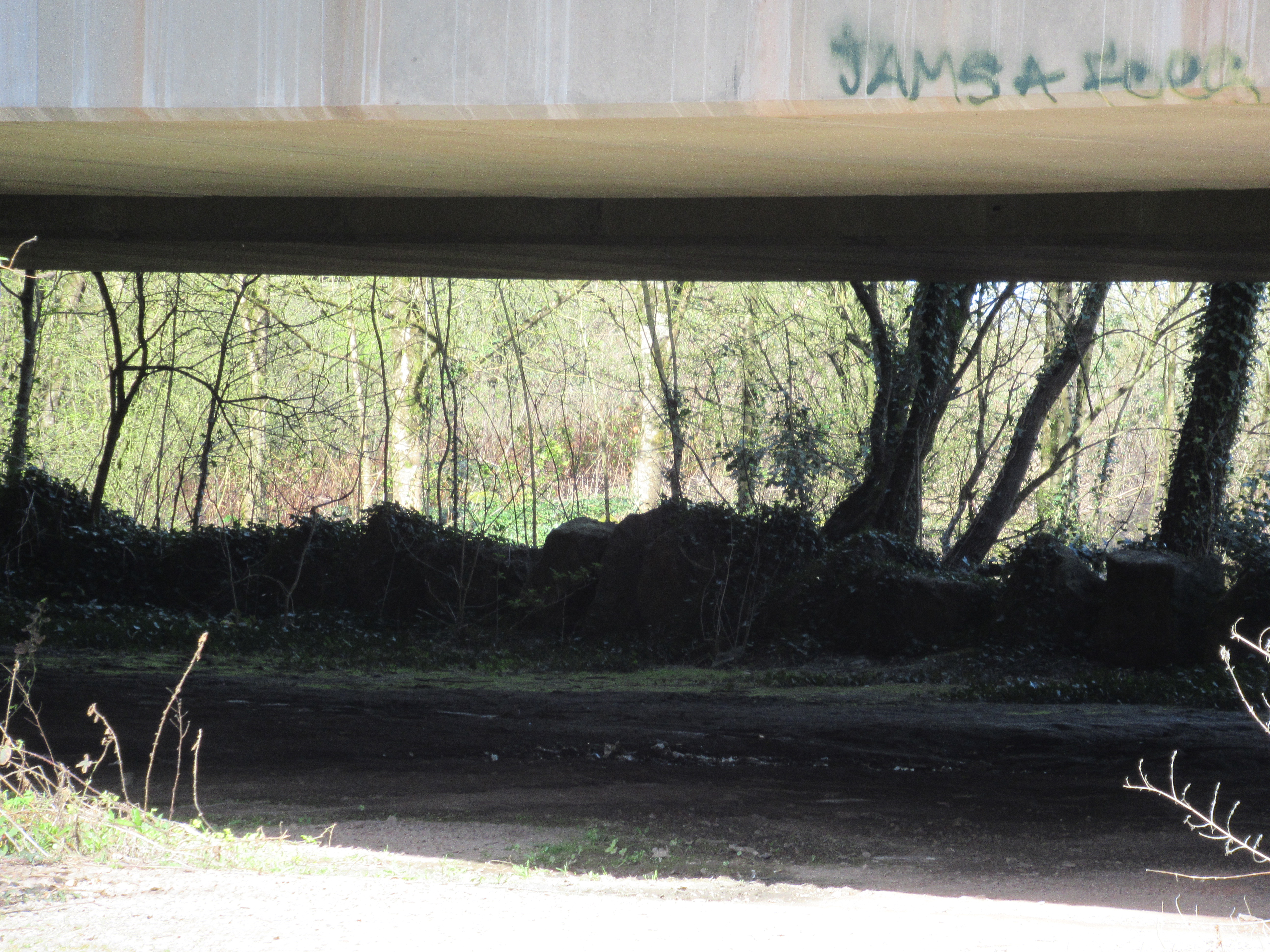
We’re following a footpath and cycle track called the Ely Trail, but it follows the river only intermittently, as if too embarrassed to show us the river’s shame. At least we see some of its course at the start. Miraculously, the steep-sided west bank of the river is still undeveloped and heavily wooded. On our side a few boats are moored on pontoons; nearby, boats for sale are racked in three tiers, like bikes in Amsterdam. We pass a slate commemorating the official opening by Councillor Brian Griffiths in 2009 of a picnic area. Deposited neatly beside the plaque, like a libation to the gods, is a small green bag of dogshit. It’s an unappealing place for a picnic in any case: a few metres to our right heavy traffic thunders along the A4232 Grangetown Link Road. The Trail passes under more than one major road carried on massive concrete columns covered with graffiti. At Leckwith there’s an incongruous medieval or early modern survival, an old three-arch bridge, with triangular cutwaters and refuges for pedestrians. On Penarth Road we admire more contemporary marvels, the Hangar ‘human performance centre’, Elephant Beds, and Drum Depot (‘selling rhythm all day long’).

But then we escape into a quite different place: a long string of small industrial yards and units. Here are one-man metal-bashers, gyms and martial arts centres, sign-writers, balustrade makers and many more. A few men are at work, or at rest beside a van, condemned by the Council as derelict, that now acts as a waste skip. Some of these tiny businesses are on Paper Mill Road. The name is the only indication of what was once one of west Cardiff’s main industries. From the 1870s the famous Wiggins Teape factory made paper for the world (Wales once had many paper mills). Nothing remains of it today. So while the big industrial employers have mainly gone, the smaller firms are left to make some sort of living in these edgelands.

By now we’ve left the river and crossed Sanitorium Park. The Trail turns into a street walk, over Cowbridge Road and Western Avenue and into Fairwater. We can trace the subtle social gradations of suburban living in the different ways the Edwardian houses are sized, grouped and ornamented. It’s mostly quiet, but in Bwlch Road a man sits in front of his house, stripped to the waist (it’s now sunny and warm), a guitar propped on the house wall, and Dolly Parton singing out behind him. At last the city gives up in exhaustion, at Landwade Close, and we’re suddenly in the country, in a grassy glade, the road to St Fagans up to our right, and the railway and river behind a metal screen on our left.

Finally, as we climb the hill into St Fagans village we enter yet another landscape, of aristocratic privilege mutated into heritage industry. The Earls of Plymouth once ruled this place: the big pseudo-Jacobean Plymouth Arms serves food in its back garden, and a long, tall wall protects St Fagans Castle, the Earl’s Elizabethan home, since 1946 in the care of Amgueddfa Cymru National Museums Wales. We approach the house by the short formal garden, leave it by the nineteenth-century water landscape, and visit the main building, with its new history and archaeology gallery. Coachloads of schoolchildren have arrived, to visit the re-erected buildings and re-packaged history.
Leave a Reply